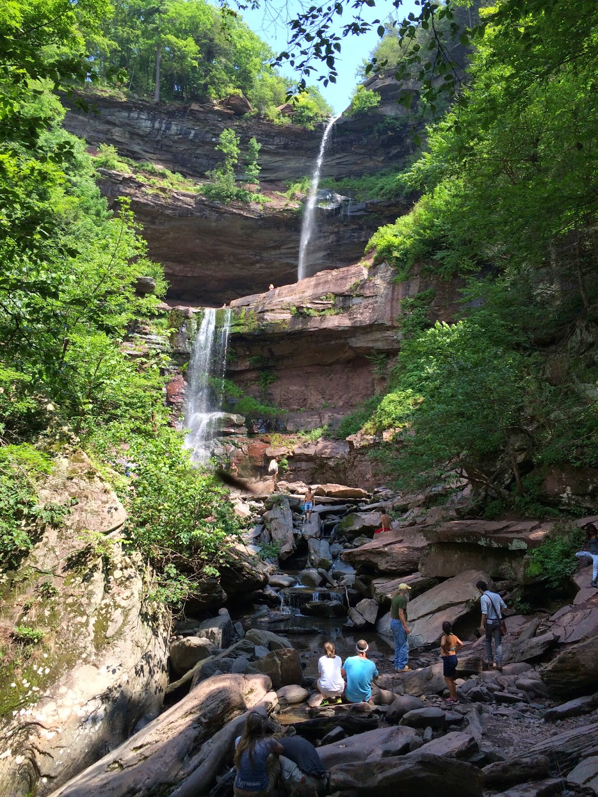
Advice: Alternatives to Kaaterskill Falls | Catskill Mountains, NY
This short guide should help you find information about additional walking, hiking and swimming options in the Catskills and provide you with some resources for your visit to the region to ensure you have an enjoyable visit even if you can't make it to Kaaterskill Falls!
If you are looking for a more general overview of the Catskill Park, read our Guide to the Catskill Park hosted on our sister site ReviewThis. We also offer an introductory Guide to Hiking in the Catskills here on Adventures in the Outdoors that should provide anyone looking to start exploring the Catskills with a handy introduction.
Need some advice about getting ready to hike? Check out our Hiking 101 Guide!
Visit the Catskill Interpretive Center in Mount Tremper!
 |
| The CIC is open daily to the public |
The Catskill Interpretive Center is the gateway to the Catskills and serves as a visitor center for the entire Catskill Park. The Catskill Interpretive Center, operated by the Catskill Center through a partnership with the New York State Department of Environmental Conservation, is a visitor center for the Catskill Park and the space for the interpretation of our natural and cultural resources in the Catskills. Staff and volunteers are on hand to provide information on trails, recreation, local communities and more! The Interpretive Center is home to the Catskills only fully accessible walking trail in the Catskills and offers the opportunity to walk and fish on the site.
The Interpretive Center is open from 9:30am to 4:30pm, 7 days a week and is located at 5096 Route 28 in the Village of Mount Tremper.
Get Trail Maps for your Adventures!

The New York-New Jersey Trail Conference publishes a 6-map set that covers over 400 miles of trails in the Catskill Park. The printed set is also available at local retailers and you can purchase and download it directly to your smartphone or tablet at http://www.nynjtc.org/content/pdfmaps-catskills-qr.
Need more generalized maps? The Catskill Center publishes a large format map of the entire Catskills region that offers information on roads, parking, destinations and trails.
Get Current Trail Conditions
The Trail Conference provides weekly trail updates for the trails of the Catskills that are indispensable to visitors looking to explore the park.
Easy Hike Options
North and South Lake Campground Trails and the Kaaterskill Rail Trail: These nearby trails are your best option overall as an alternative to Kaaterskill Falls. The trails feature views of Kaaterskill Clove and the Hudson Valley. Download the Trail Conference’s free guide to the trails of the region.
Onteora Lake Area: Located near Kingston on Route 28, the Onteora Lake area includes a large parking area, 3 easy loop hikes and lake-side picnic areas Ashokan Reservoir: Located near Kingston and just south of Shokan off of Route 28. There is plenty of parking and a great easy walk on a hard packed/pave surface where you can walk, bike or push a stroller. Amazing views of the reservoir, the mountains and a great place to see a bald eagle!
Windham Path: The Windham Path offers an easy walk near the village of Windham just off Route 23. There’s plenty of parking and views of the surrounding mountains as you walk along the path.
Pratt Rock: Located in Prattsville, Pratt Rock is a hiking and picnicking destination with beautiful views of the Schoharie River Valley and historical stone carvings. Located on Route 23 in the Village of Prattsville.
Catskill Scenic Trail: The 26 mile former railroad offers walkers, hikers, bikers and horseback riders the opportunity to experience the Catskills close up in a friendly, easy to walk way. Running between Roxbury and Bloomville in Delaware County, the trail is accessible in a number of locations along Routes 10, 23 and 30.
Waterfalls and Swimming
North Lake Beach: Located in the North & South Lake State Campground, the North Lake Beach offers a beautiful swimming area surrounded by the mountains of the Catskills.
Platte Clove Preserve: Located at the head of Platte Clove, there is plenty of parking at the parking lot on Steenburgh Road. There’s a short road walk and then a short, easy hike down to Plattekill Falls, a beautiful waterfall. Platte Clove Preserve is located at 2375 Platte Cove Road in Elka Park.
Colgate Lake: Colgate Lake is located in the Town of Jewett on Colgate Lake Road (County Route 78), which is off of County Route 23C. The lake offers swimming and picnicking areas, along with the opportunity to paddle if you’ve brought a boat.
More Hiking Options
Colgate Lake Trail: There are miles of relatively flat wooded trails in the area, along with a very interesting beaver meadow with great views. To the beaver meadow and back is approximately 5 miles
Catskill Fire Towers: Each summer, thousands of people from all over the world visit the fire towers to enjoy the beauty and splendor of the Catskill Mountains. Volunteer interpreters welcome these visitors, sharing the history and lore of the fire towers and of the Catskill Mountains. Fire Towers are located on Hunter Mountain, Overlook Mountain, Balsam Lake Mountain, Red Hill and Tremper Mountain. Visit the Catskill Center's Fire Tower Project page for detailed maps for each of the five towers.
Acra point and Burnt Knob: A more challenging hike and more of a wilderness experience along the Escarpment Trail, this approximately 5 mile round trip hike features stiff climbs and great views of the Catskills and the Hudson Valley. The trail begins on Big Hollow Road in Maplecrest.
Giant Ledge: A challenging, 3 mile roundtrip hike that offers some of the most incredible views in the Catskills. This is a very popular hiking destination and the parking lot fills up early on weekends. The hike is steep with some rocky scrambles and be sure to arrive early before the parking lot fills. The trailhead and parking area is located on Oliverea Road (County Route 47).
Need more information on hiking and planning your
trips to the Catskills and the Catskill Park?
Read up on the Catskill Park at our Catskill Mountains Information Page for hikes, advice, travel and planning information. We have a Guide to Hiking in the Catskills available and on our sister site, ReviewThis is a Guide to visiting the Catskill Park.
Need a hiking map for your hikes in the Catskills? We recommend the Trail Conference's Catskills Trails 6-Map Set
How about a guidebook? Both AMC
If you are looking for more information about the extensive history of the Catskill Mountains and the Catskill Park, we would suggest reading The Catskills, From Wilderness to Woodstock and The Catskill Park, Inside the Blue Line. For the most comprehensive natural history of the Catskill Park and the Forests of the Catskill region, we recommend reading The Catskill Forest, a History by Michael Kudish.


Comments
Post a Comment